Things to do
Passo de Camaragibe: guide to the neighbouring municipality
Updated on October 19, 2026 ✓ Information verified on October 19, 2026 adapted version of the Portuguese original
Passo de Camaragibe lies south of São Miguel dos Milagres and is part of the stretch known as the Milagres Ecological Route, which includes beaches of the three municipalities, according to Wikipedia. This guide gathers the verified data on the municipality; we do not list specific attractions without a public source.
In numbers (Wikipedia)
- Location: Alagoas’ north coast, about 75 km from Maceió.
- Area: 187.197 km²; altitude 2 m.
- Population: 14,763 inhabitants in the 2010 Census (IBGE). Demonym: camaragibano.
- Borders: Barra de Santo Antônio, São Luís do Quitunde, Matriz de Camaragibe, Porto de Pedras and São Miguel dos Milagres.
History
Wikipedia records that Passo de Camaragibe was raised to a village in 1852 and a district in 1864, until it became a city in 1880. The name comes from Tupi and refers to a local shrub, the camará. It is the birthplace of the lexicographer Aurélio Buarque de Holanda.
Climate
Data cited by Wikipedia indicate average rainfall of about 1,815 mm a year and an average temperature of 24.7 °C. June is the wettest month and November the driest. See when to go and in the rain.
Beaches on the route
Wikipedia lists the beaches of Marcineiro and Riacho among those on the Milagres Ecological Route, alongside São Miguel dos Milagres, Toque, Porto da Rua, Lages and Patacho. Information on access, facilities and opening times for these beaches is not in the sources consulted: ask at your lodging.
How to include it in your trip
Travellers coming from Maceió pass through this stretch of the north coast before reaching São Miguel: see from Maceió to São Miguel dos Milagres. Drive in daylight and carefully, as the road is narrow.
Keep reading
Keep planning
-
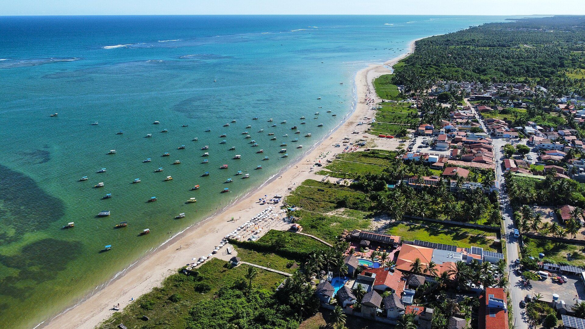 Milagres Ecological Route (Rota Ecológica dos Milagres) Milagres Ecological Route: the stretch of palm-lined, calm-sea beaches between Passo de Camaragibe, São Miguel dos Milagres and Porto de Pedras, in Alagoas. Read guide
-
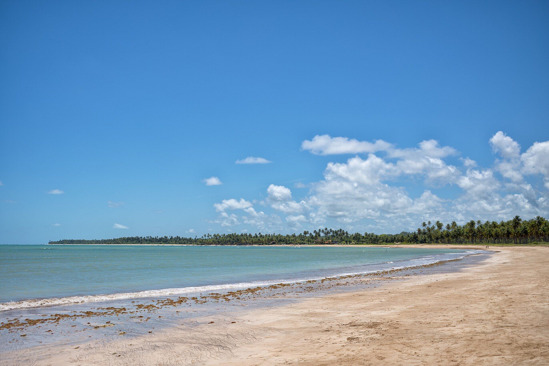 Beaches of São Miguel dos Milagres and the Ecological Route Beaches of São Miguel dos Milagres and the Milagres Ecological Route: Toque, Porto da Rua, the town beach, Lages and Patacho, with what to expect at each. Read guide
-
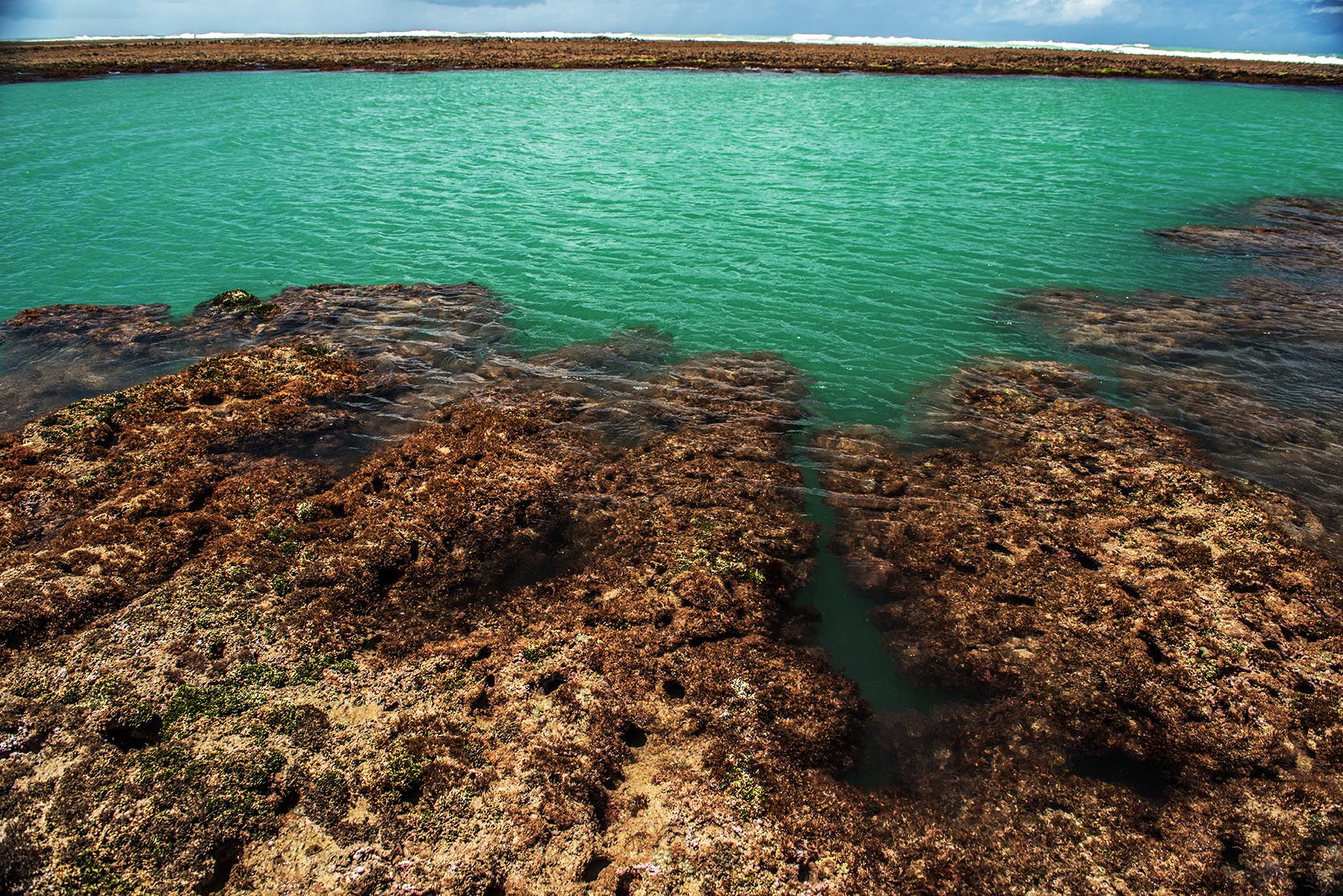 Low tide and natural pools: how to plan How to use the Brazilian Navy tide table to visit the natural pools of São Miguel dos Milagres and see the manatees, with a step-by-step guide and precautions. Read guide