Jade-green sea, coconut groves and manatees on the Milagres Route
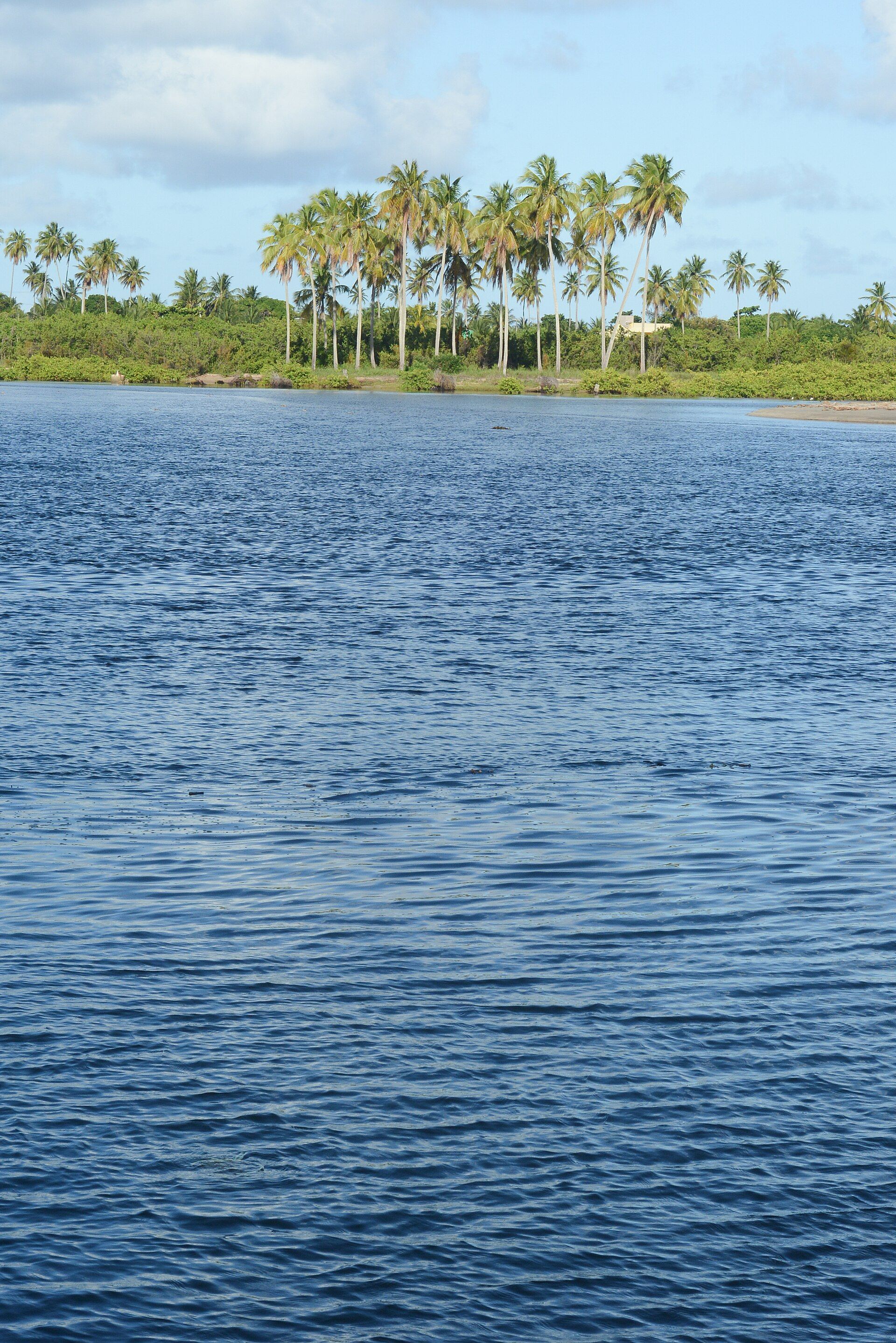
Praia do Toque, Porto da Rua, the low-tide natural pools, the manatees of the Tatuamunha River and the beaches of Porto de Pedras. With cited sources and verification dates.
The symbol of the Milagres Route
The manatees of the Tatuamunha River
The West Indian manatee is one of the animals the Costa dos Corais protected area was created to protect. On the boat trip along the Tatuamunha River, in Porto de Pedras, visitors meet the animal and learn about the region's conservation projects.
- Manatee endangered marine mammal
- APA Costa dos Corais, since 1997
- River Tatuamunha, in Porto de Pedras
- Respect do not touch or feed
Milagre's tip: ask about the time of the river trip, because it depends on the tide.
Why the tide runs the itinerary
Low tide: time for the natural pools
The reefs of the Costa dos Corais shelter the beaches and, at low tide, form natural pools of clear water. The best part of the day depends on the tide table.
- 1 Check the tide tableThe Brazilian Navy publishes tide forecasts for the ports along the coast. Look up the time and height of the day's low tide.
- 2 Book the trip for low tideTrips to the natural pools leave according to the tide. Ask about the time the day before.
- 3 Head back when the tide risesAs the tide comes in, the pools disappear and the water gets deeper. Do not stay on the reefs.
Start here
What to decide before booking
When to go, how many days to stay, where to stay and how to reach the Milagres Ecological Route.
- Plan Step-by-step planning, in the right order.
- Itineraries 2-, 3- and 5-day templates, built around the tide.
- Tours Natural pools, manatees, kayaking and nearby beaches.
- Where to stay Town, Toque, Porto da Rua or Porto de Pedras: pros and cons.
- When to go Rainy months, summer and each day's tide.
- Getting there From Maceió, Maragogi or Recife: car, van and ferry.
Beaches and tours
Places worth your time
From Praia do Toque to the Tatuamunha River, with what you need to know before you go.
-
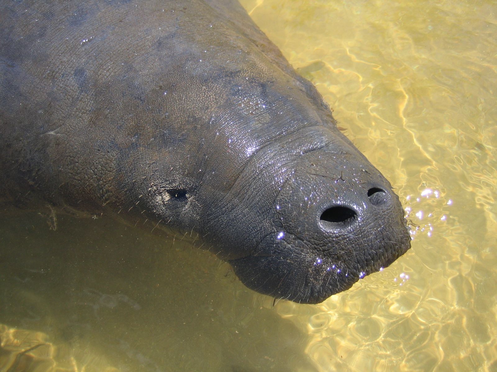 Sea-dependent Porto de Pedras Tatuamunha River and the manatees Tatuamunha River, in Porto de Pedras: a river trip to meet the West Indian manatee and the conservation projects of the Costa dos Corais protected area. See details
-
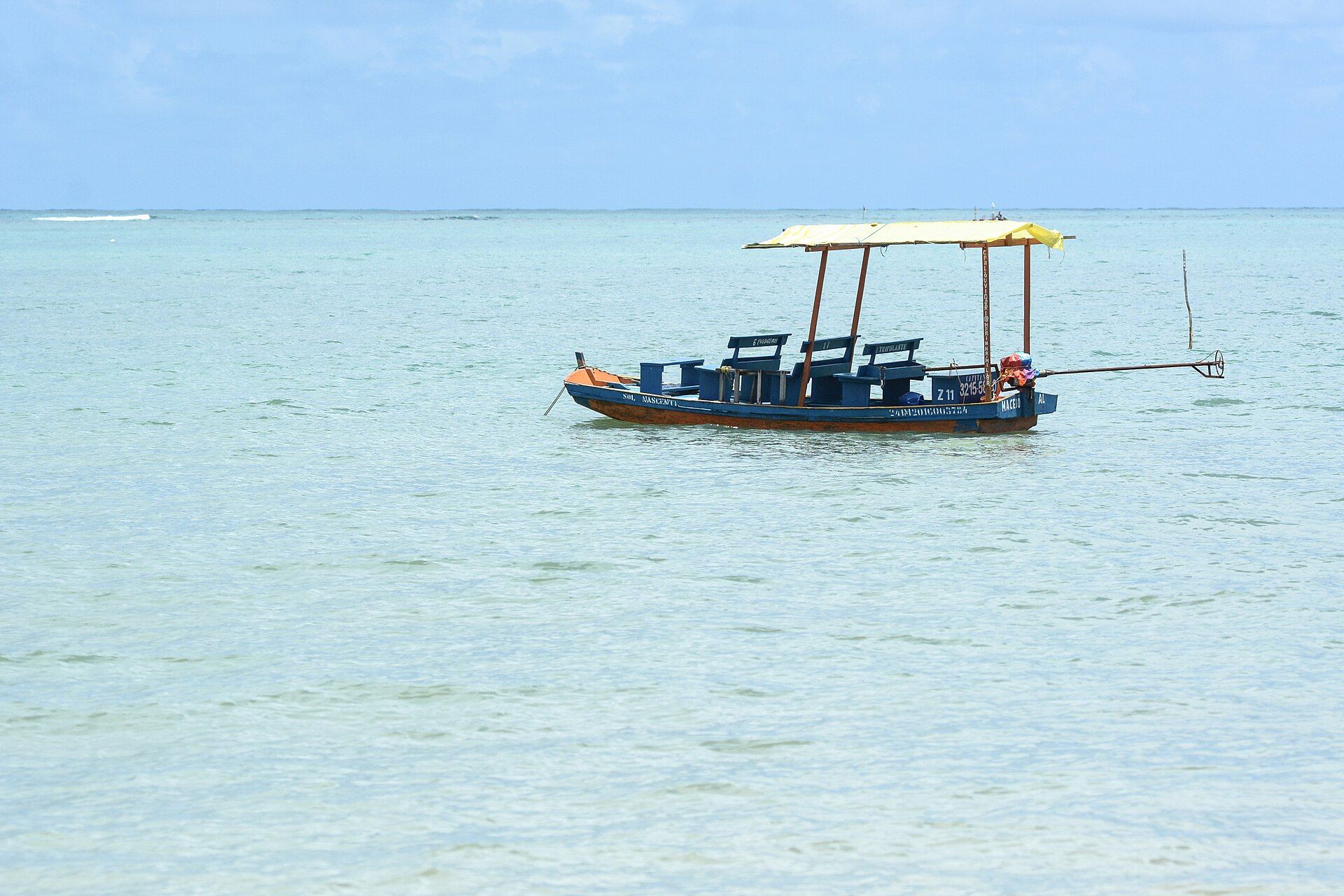 Free accessKidsSea-dependent São Miguel dos Milagres Praia do Toque (Toque Beach) Praia do Toque, in São Miguel dos Milagres: shallow, clear water, coconut groves, tour rafts and guesthouses on the Milagres Ecological Route. See details
-
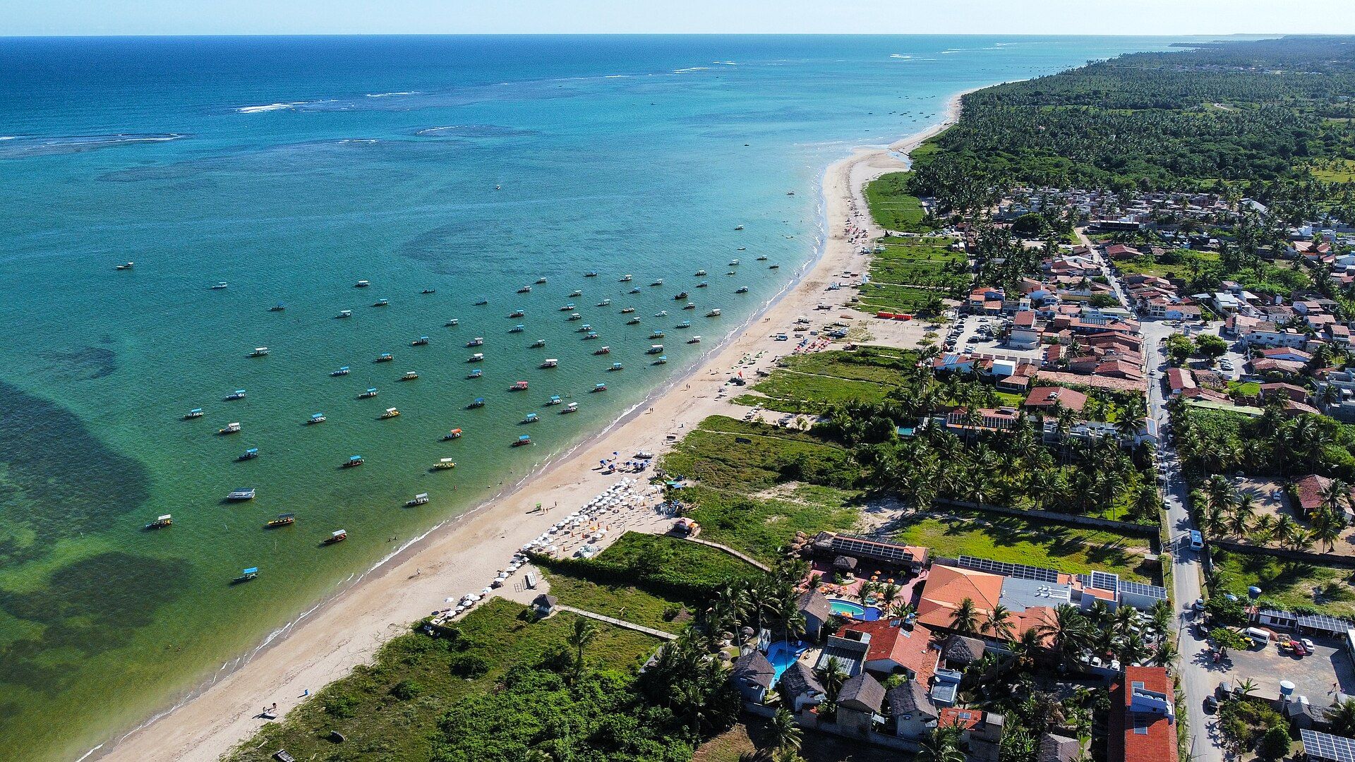 Free accessSea-dependent São Miguel dos Milagres Praia de Porto da Rua (Porto da Rua Beach) Porto da Rua Beach, in São Miguel dos Milagres: a long stretch of sand, boats on jade-green water, guesthouses and kayak and stand-up paddle rentals. See details
-
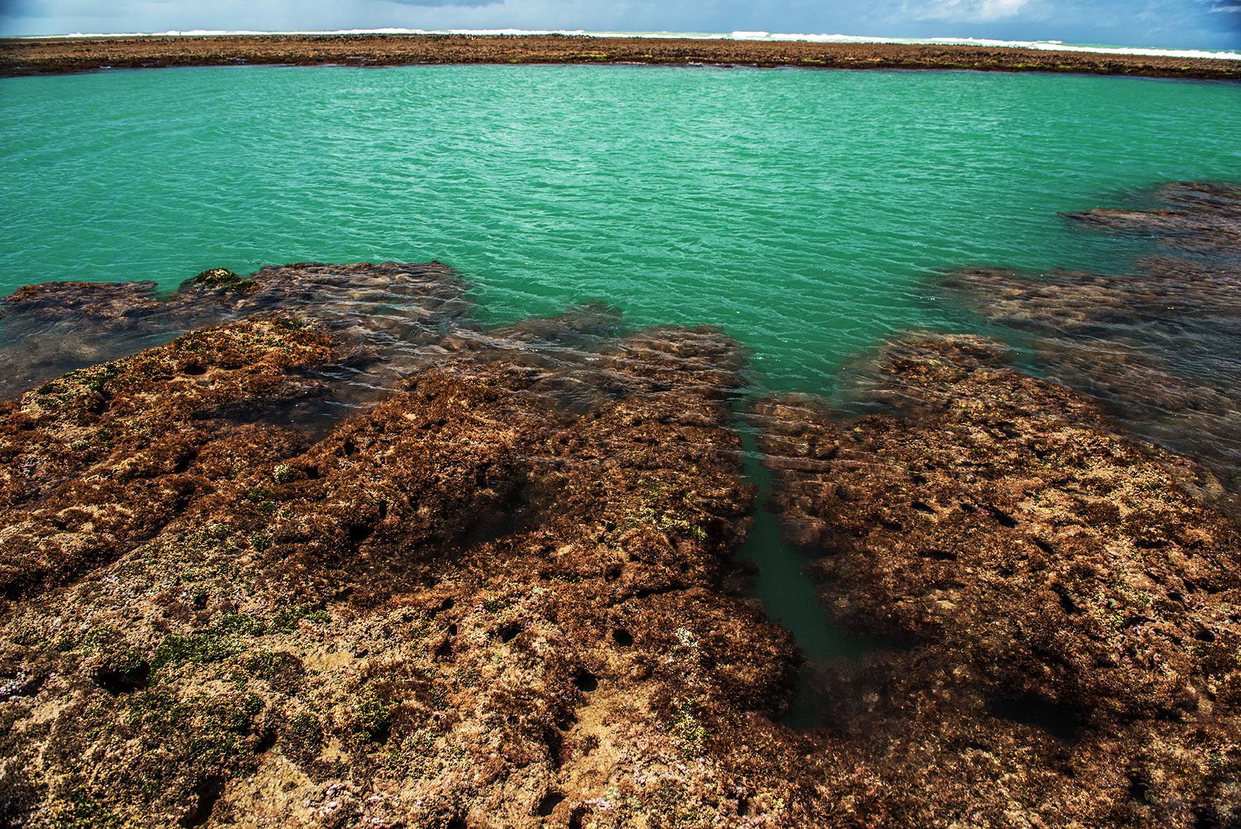 KidsSea-dependent São Miguel dos Milagres Natural pools of São Miguel dos Milagres Natural pools of São Miguel dos Milagres: formed by the Costa dos Corais reefs at low tide. How to use the tide table and how to take care of the corals. See details
-
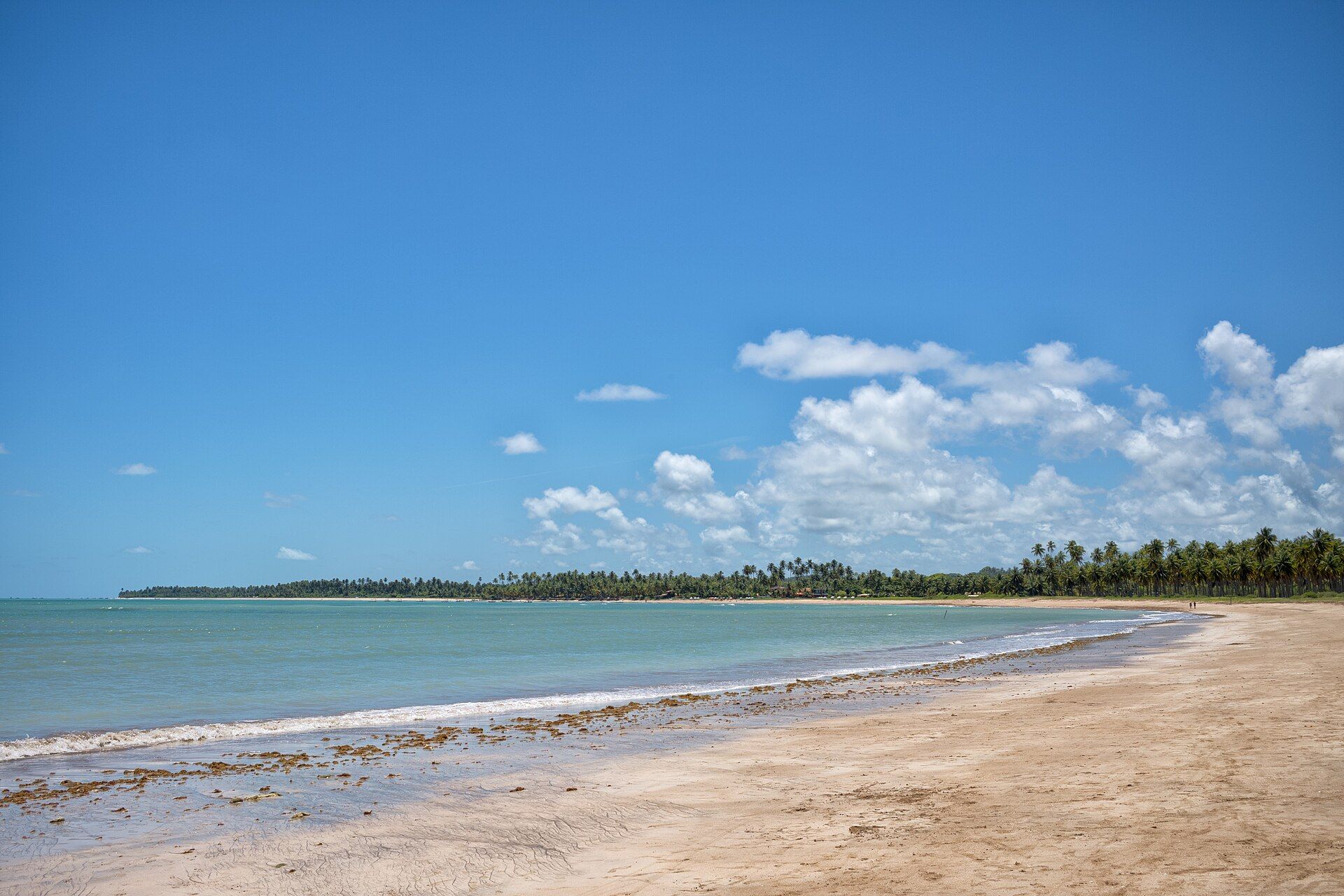 Free accessSea-dependent Porto de Pedras Praia do Patacho (Patacho Beach) Praia do Patacho, in Porto de Pedras: pale sand, coconut groves and a calm sea, one of the best-known beaches of the Milagres Ecological Route. See details
For your travel style
Start with the way you travel
Itineraries
Itineraries by number of days
Ready-made templates to adapt to the tide table, from a weekend to five days.
- 2-day itinerary in São Miguel dos Milagres 2-day itinerary in São Miguel dos Milagres: Praia do Toque, the natural pools at low tide, the Cruzeiro viewpoint and Porto da Rua. Read guide
- 3-day itinerary in São Miguel dos Milagres 3-day itinerary in São Miguel dos Milagres: the town beaches, the natural pools, manatees on the Tatuamunha River and Praia do Patacho. Read guide
- 5-day itinerary in São Miguel dos Milagres 5-day itinerary in São Miguel dos Milagres: the whole Ecological Route, natural pools, manatees, Porto de Pedras, Lages, Patacho and Porto da Rua. Read guide
Business directory
Guesthouses, restaurants, tours and services
Categories with practical guidance and listings based only on verifiable public sources. Local businesses can submit their listing for free.
Frequently asked questions
Before you travel, read this
Where is São Miguel dos Milagres?
On the north coast of Alagoas, in northeastern Brazil, between Maceió and Maragogi, inside the Costa dos Corais protected area (APA). The town's beaches are part of the Milagres Ecological Route.
What is the Milagres Ecological Route?
It is the stretch of palm-lined, calm-water beaches between Passo de Camaragibe, São Miguel dos Milagres and Porto de Pedras, with beaches such as Marceneiro, Toque, Porto da Rua, Lajes and Patacho.
Where can I see manatees?
On the boat trip along the Tatuamunha River, in Porto de Pedras, next to São Miguel dos Milagres. That is where visitors are introduced to the manatee and the region's conservation projects.
When do the natural pools appear?
At low tide. Check the Brazilian Navy's tide tables and book the trip for the time of low water.
How do I get to São Miguel dos Milagres?
The nearest airports are in Maceió and Recife. From Maceió there are regular vans and the coastal road by car; from Maragogi, the way goes through Japaratinga and the Porto de Pedras ferry.
This guide is not the municipality's official website. Every page shows when it was updated and where the information comes from. Advertising and sponsorships are always labeled.